Political World Atlas
Navigation


Copyright World Sites Atlas (Sitesatlas.com). All rights reserved.
These maps may not be reproduced or copied in any form.
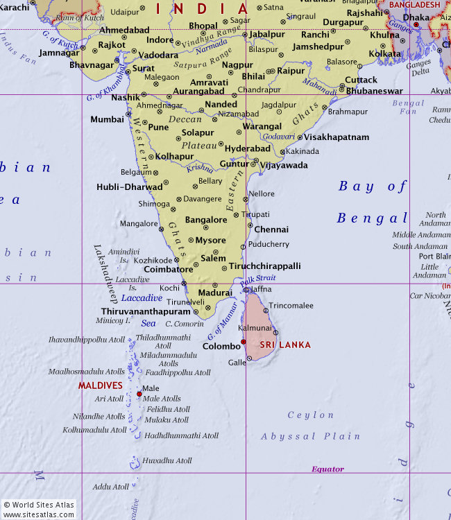
Place names on this map tile
Ahmednagar, Amindivi Islands, Amravati, Ari Atoll, Aurangabad, Balasore, Bangalore, Bay of Bengal, Belgaum, Bellary, Bengal Fan, Bhavnagar, Bhilai, Bhubaneswar, Bilaspur, Brahmapur, Cape Comorin, Ceylon Abyssal Plain, Chandrapur, Chennai, Coimbatore, Colombo, Cuttack, Davangere, Deccan Plateau, Eastern Ghats, Faadhippolhu Atoll, Felidhu Atoll, Galle, Godavari River, Gulf of Khambhat, Gulf of Mannar, Guntur, Hadhdhunmathi Atoll, Hubli-Dharwad, Huvadhu Atoll, Hyderabad, Ihavandhippolhu Atoll, Jaffna, Jagdalpur, Jamnagar, Kakinada, Kalmunai, Kochi, Kolhapur, Kolhumadulu Atoll, Kozhikode, Krishna River, Laccadive Islands, Laccadive Sea, Lakshadweep, Maalhosmadulu Atolls, Madurai, Mahanadi River, Maldives, Male, Male Atolls, Malegaon, Mangalore, Miladummadulu Atolls, Minicoy Island, Mulaku Atoll, Mumbai, Mysore, Nagpur, Nanded, Narmada River, Nashik, Nellore, Nilandhe Atolls, Nizamabad, Palk Strait, Puducherry, Pune, Raipur, Rajkot, Salem, Satpura Range, Shimoga, Solapur, Sri Lanka, Surat, Thiladhunmathi Atoll, Thiruvananthapuram, Tiruchchirappalli, Tirunelveli, Tirupati, Trincomalee, Vadodara, Vijayawada, Visakhapatnam, Warangal, Western Ghats